- Arcouzan, a dangerously melting glacier and an emerging bag
- Arcouzan, a dangerously melting glacier and an emerging bag
- Arcouzan, a dangerously melting glacier and an emerging bag
- Arcouzan, a dangerously melting glacier and an emerging bag
- Arcouzan, a dangerously melting glacier and an emerging bag
- Arcouzan, a dangerously melting glacier and an emerging bag
- Arcouzan, a dangerously melting glacier and an emerging bag
- Arcouzan, a dangerously melting glacier and an emerging bag
- Arcouzan, a dangerously melting glacier and an emerging bag
- Arcouzan, a dangerously melting glacier and an emerging bag
Arcouzan, a dangerously melting glacier and an emerging bag
THE ARCOUZAN GLACIER,
IS THIS THE END OF THE STORY?
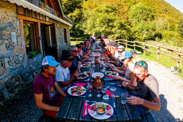
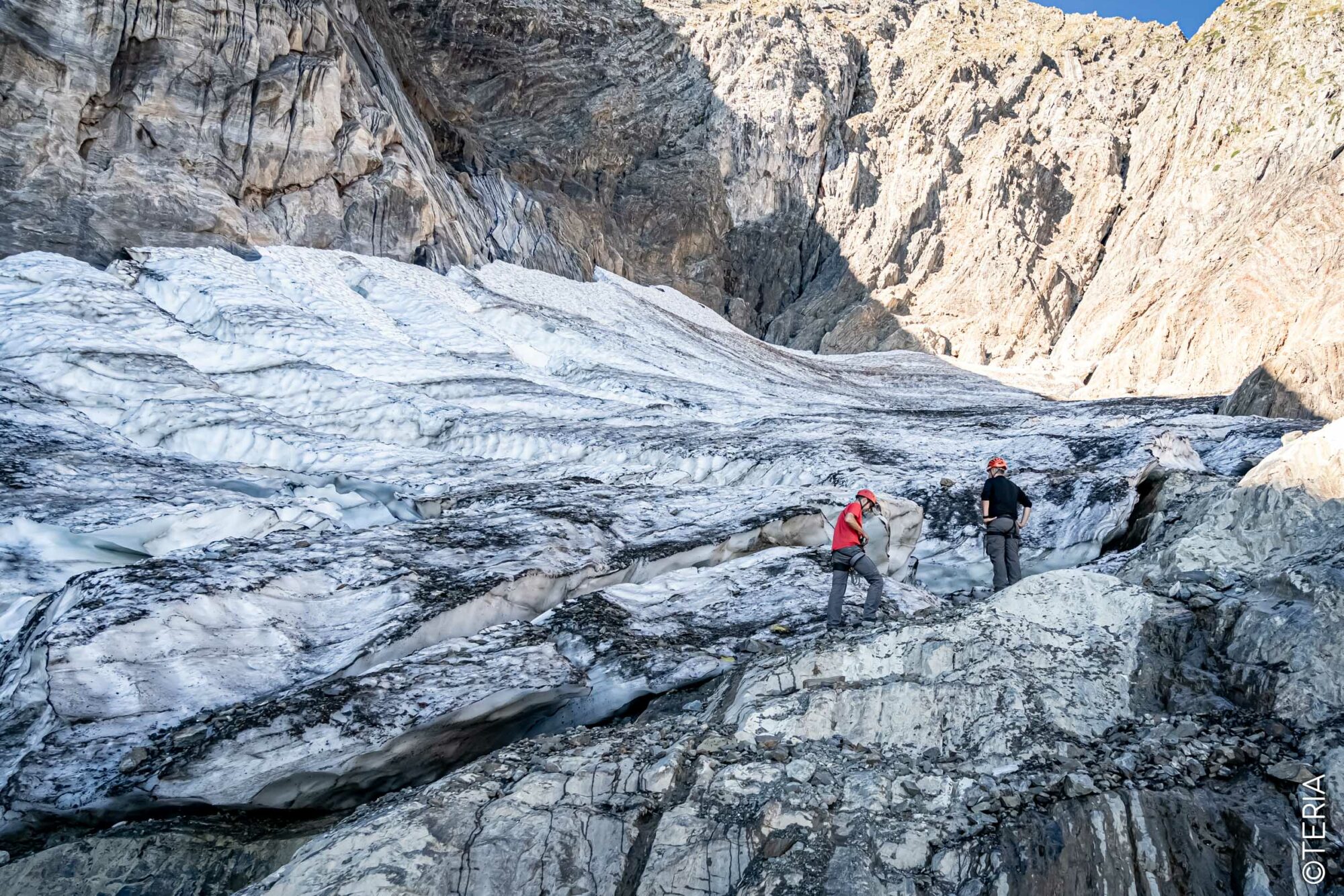
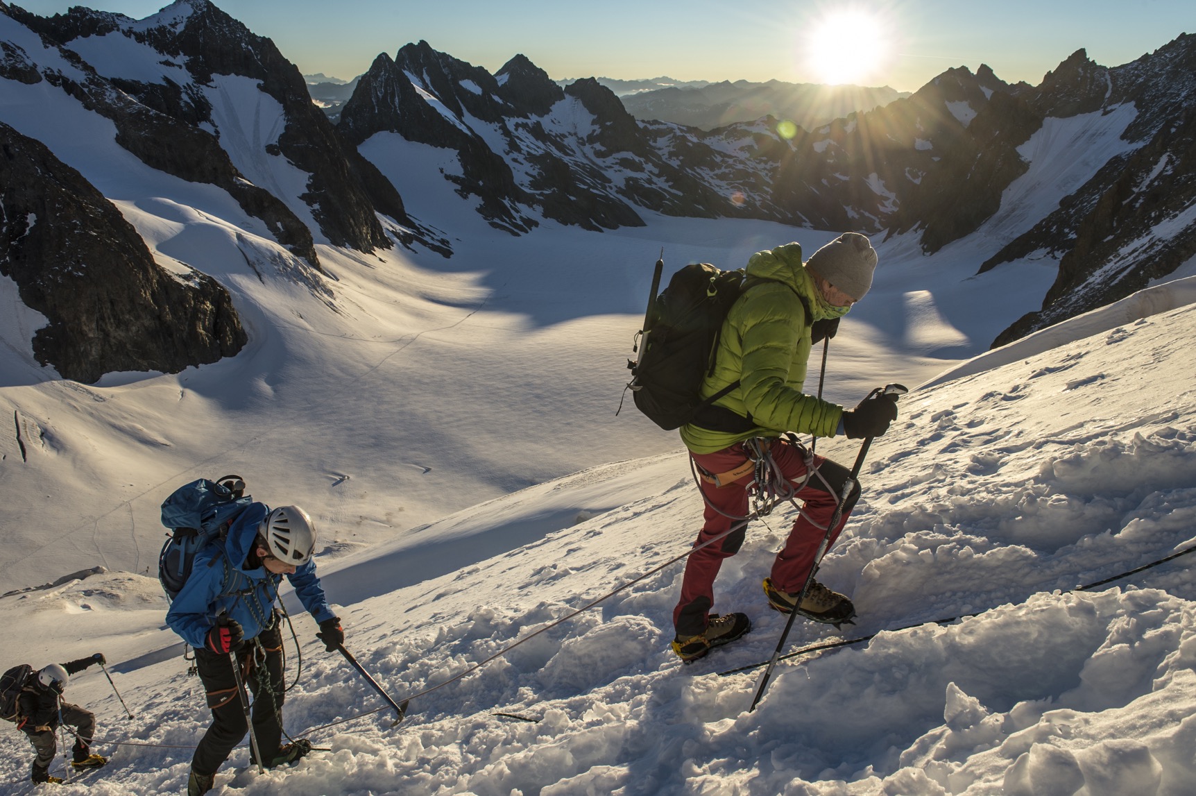
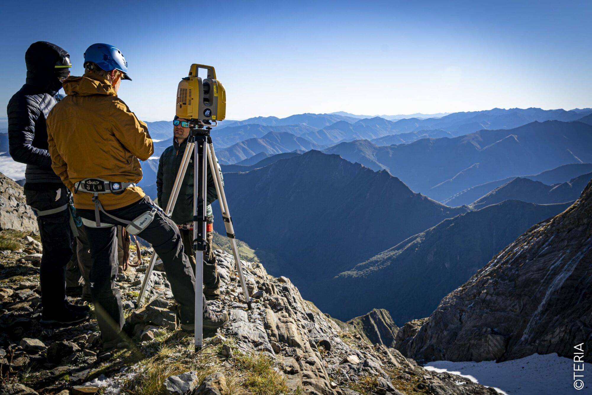
From 28 to 30 September, a multidisciplinary team made up mainly of seasoned surveyors and nature park specialists, supported by TERIA and TOPCON, specialists in GNSS technology, ventured into the Ariege Pyrenees on a large-scale scientific and geodetic mission with worrying conclusions.
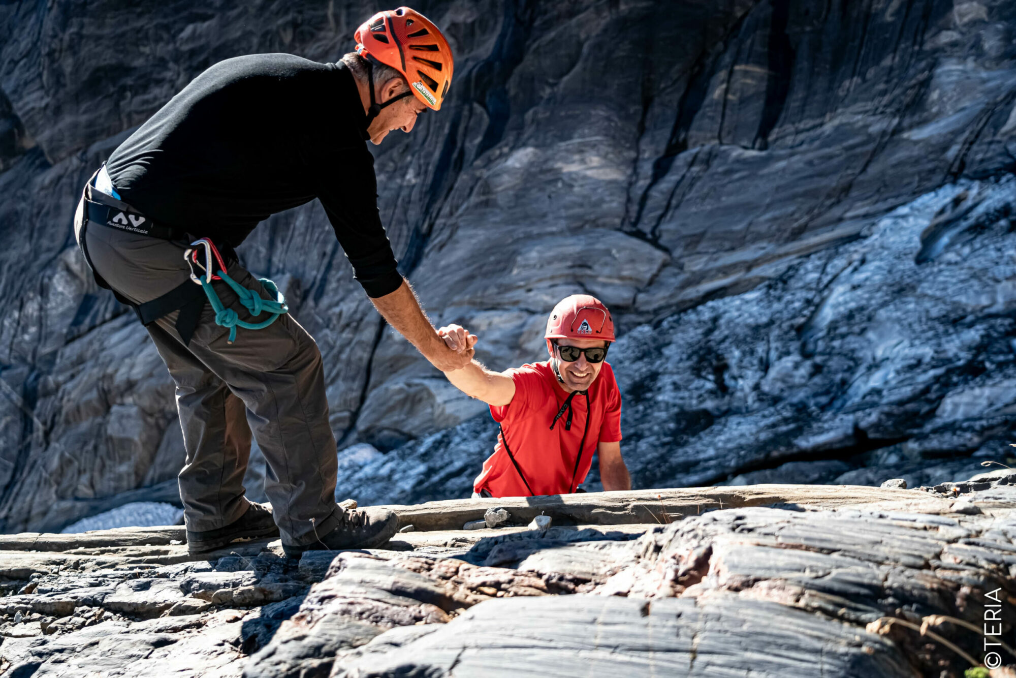
A HUMAN MISSION
REQUIRING A
MULTIDISCIPLINARY TEAM
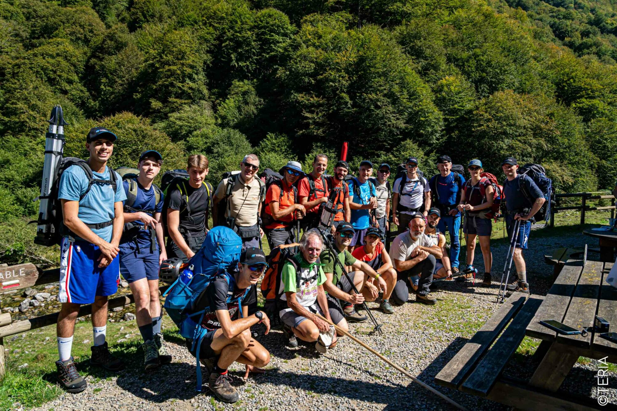
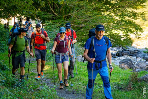
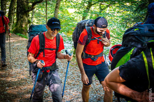
This September, a team made up of several participants from all over France joined forces for a joint 3-day mission. The team included members of TERIA, co-organiser and co-funder of the expedition, several surveyors and representatives of TOPCON, supplier of GNSS equipment and co-funder.
The expedition was also accompanied by a number of students, including topography students from the Lycée Caousou (Toulouse) and the Ecole Supérieure d’Ingénieurs des Géomètres et Topographes (ESGT – Le Mans). Last but not least, the management of the Ariege Pyrenees Regional Nature Park was present, as were a number of qualified guests..
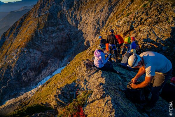
A GLACIER
LIKE NO OTHER
Since 2011, TERIA and the Géomètres-Experts have been leading an expedition on the Arcouzan glacier, which is in a unique position.
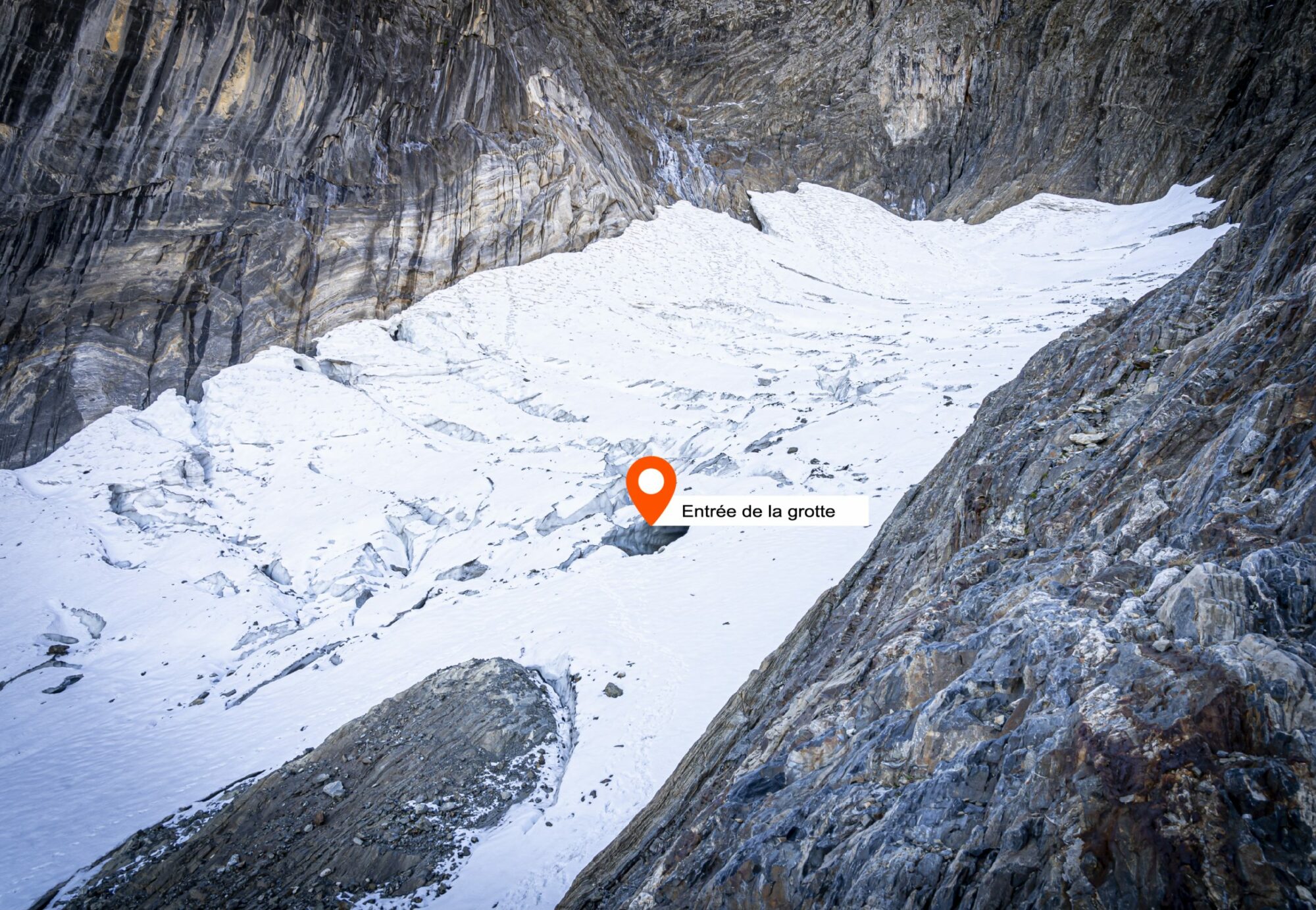
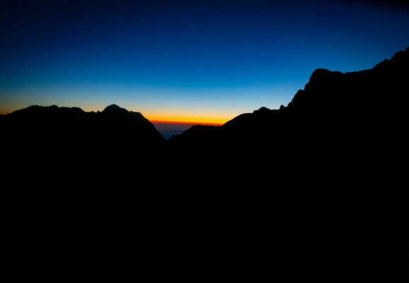
The Arcouzan glacier is the most isolated glacier in the Ariège Pyrenees. It is located at an altitude of almost 2,500 metres. Nestling at the foot of the north face of Mont Valier, which peaks at 2838m, this glacier is relatively sheltered from the wind and rarely gets any sunlight. Tucked away in the mountains, it also benefits from the snowfall from Mont Valier, which allows it to recharge. For these reasons, until 2016, the glacier remained relatively unaffected by the ravages of global warming, and its surface area continued to grow.
However, since the measurement carried out in 2016, a downward trend has been observed.
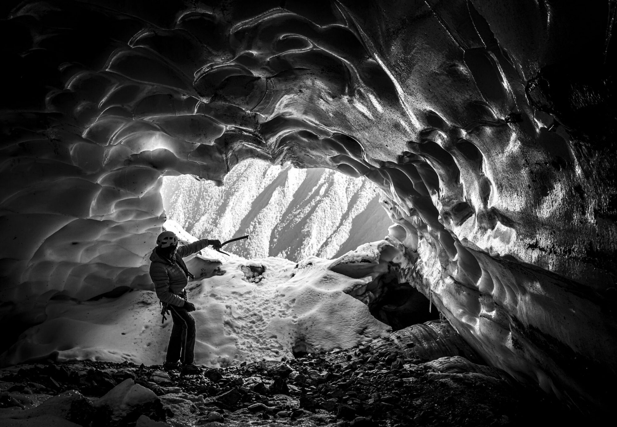
In 2021, a particularly remarkable occurrence took place. A tunnel fed by currents of warm air was observed to have formed and sunk into the very heart of the glacier.
FIND OUT MORE ABOUT
THE MYSTERIOUS RUCKSACK.

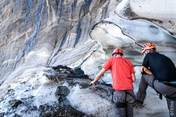
CUTTING-EDGE TECHNOLOGY
FOR AN ALARMING CONCLUSION
The melting of the Arcouzan glacier is a major source of concern. The observations made during this expedition revealed a reduction of several metres. This reduction confirms the downward trend of recent years.
This reduction is not surprising. It is largely attributable to two consecutive years of drought, which have not allowed the glacier to replenish its ice reserves. We have seen the same phenomenon at the summit of Mont-Blanc, where the altitude and volume of the ice cap have decreased.
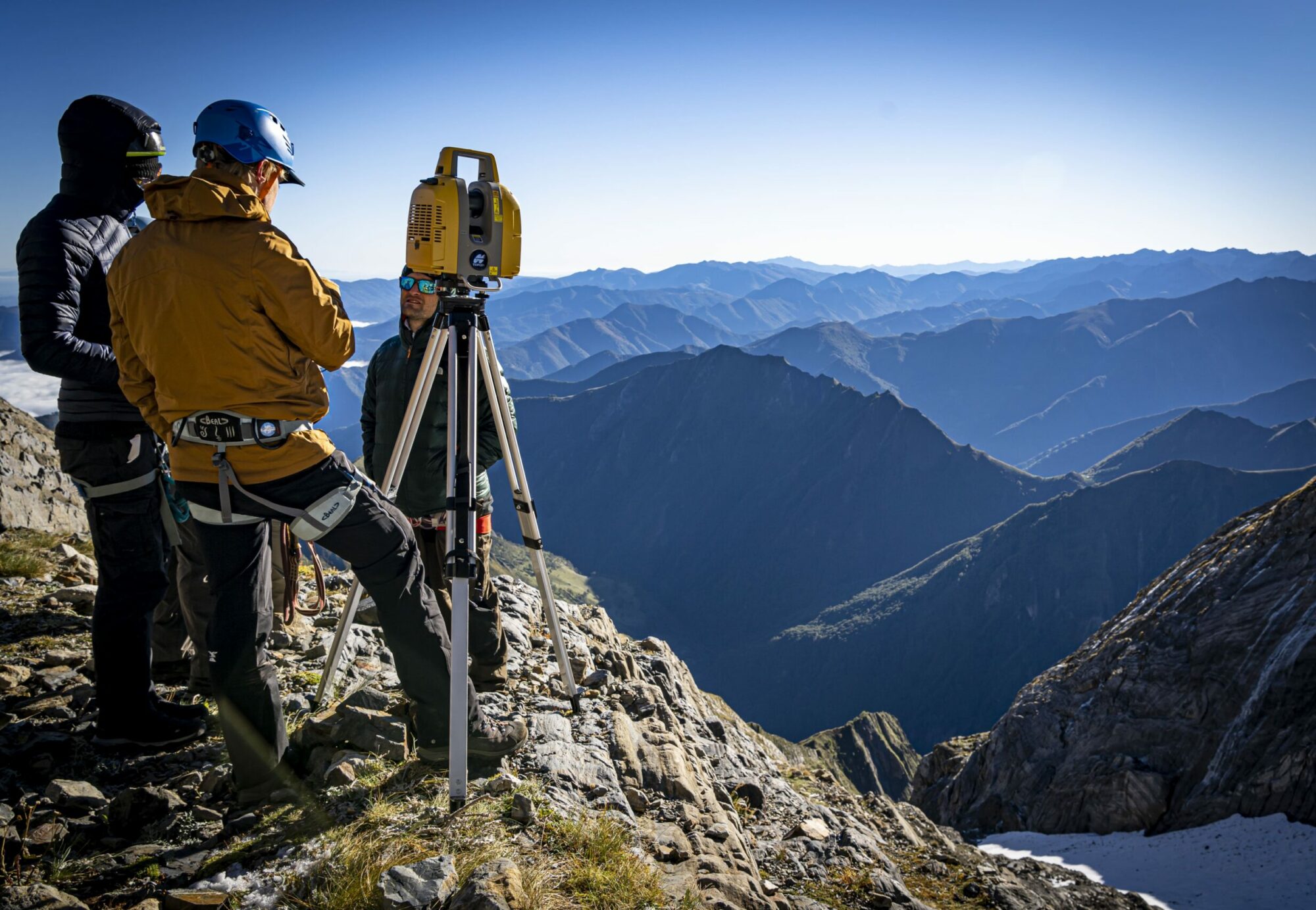
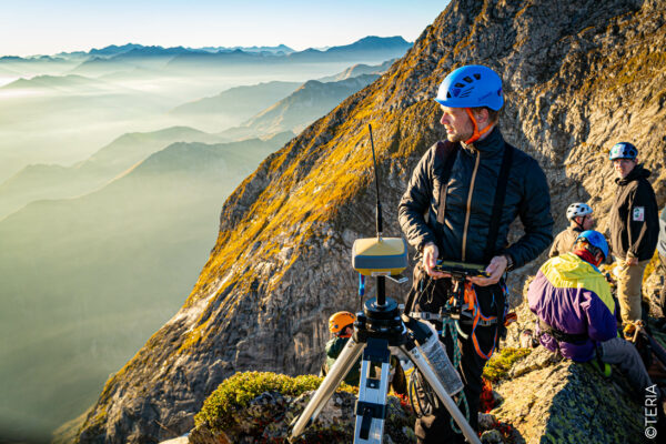
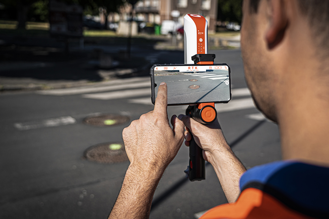
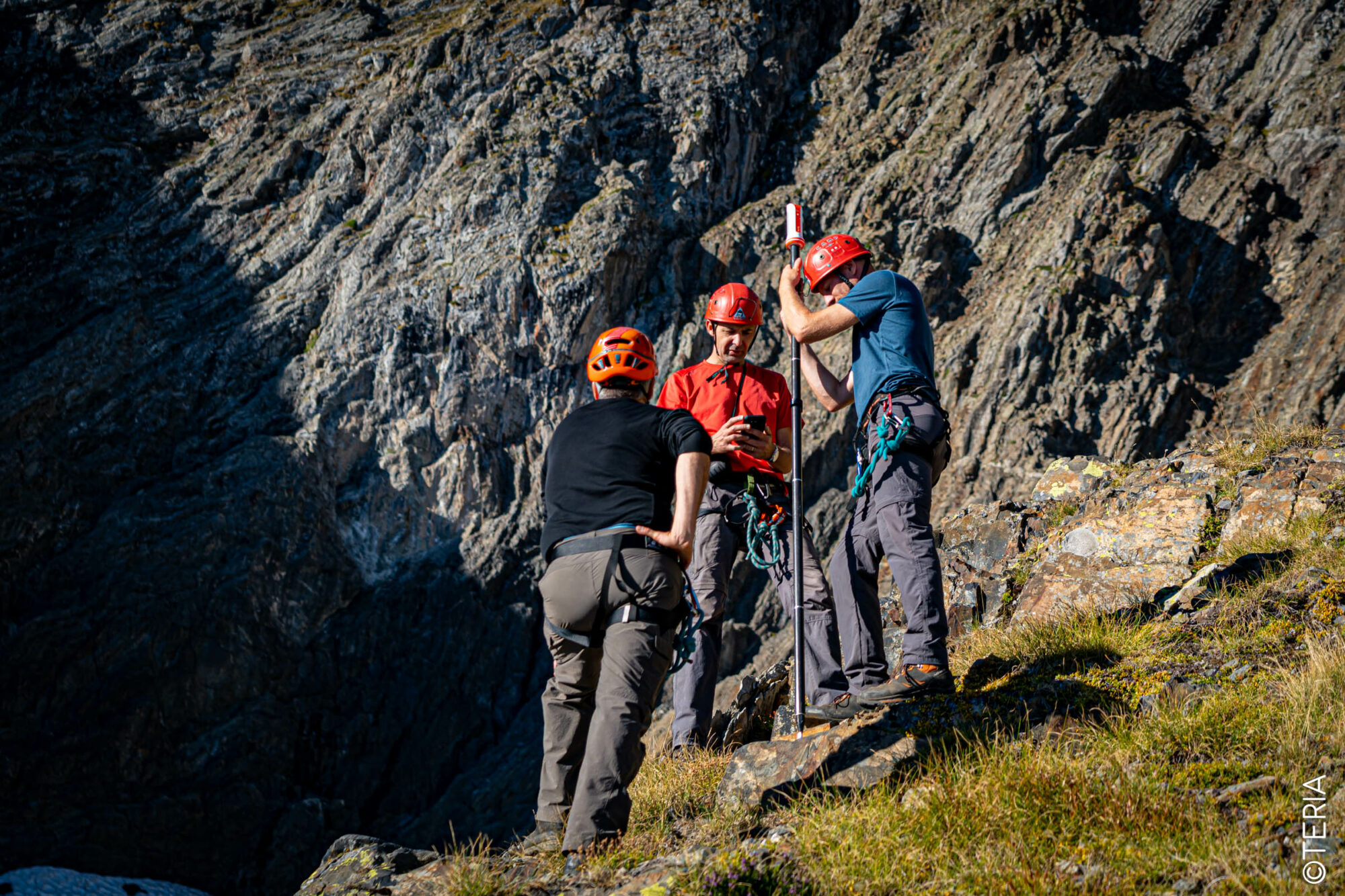
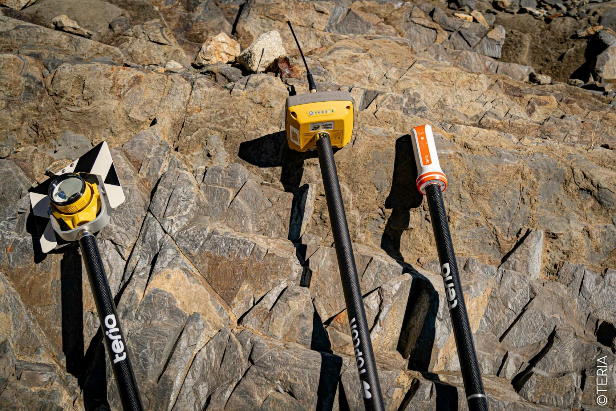
The judicious use of cutting-edge technologies such as TERIA’s PYX and TOPCON has enabled us to take centimetre-accurate readings, giving us a precise picture of the evolution and extent of this worrying melting.
For these reference measurements, the team used high-tech equipment: TERIA’s PYX receivers, HiPer VR GNSS receivers equipped with radio and TOPCON’ s FC 5000 field notebook for use as a mobile base and pivot, and finally the GLS 200 scanner for modelling the glacier. All the equipment was connected in real time to the TERIA and TERIAsat services.
Sequences of satellite data were also recorded for subsequent post-processing calculations.
In parallel with the expedition on the glacier, a team also went to measure the highest point on the summit of Mont Valier (different from the official point used by the IGN), using the PYX and the TERIAsat service.
HERE IS THE HISTORY OF THE LATEST
MEASUREMENT OF THE GLACIER’S SURFACE AREA
Year
Surface area m2
2011
18600
2012
19700
2013
25200
2014
28100
2016
24800
2018
26000
2021
17800
2023
14900
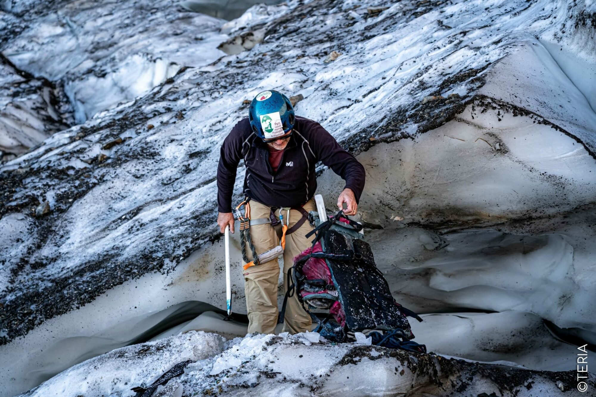
SURPRISING DISCOVERY
OF A 40-YEAR-OLD RUCKSACK
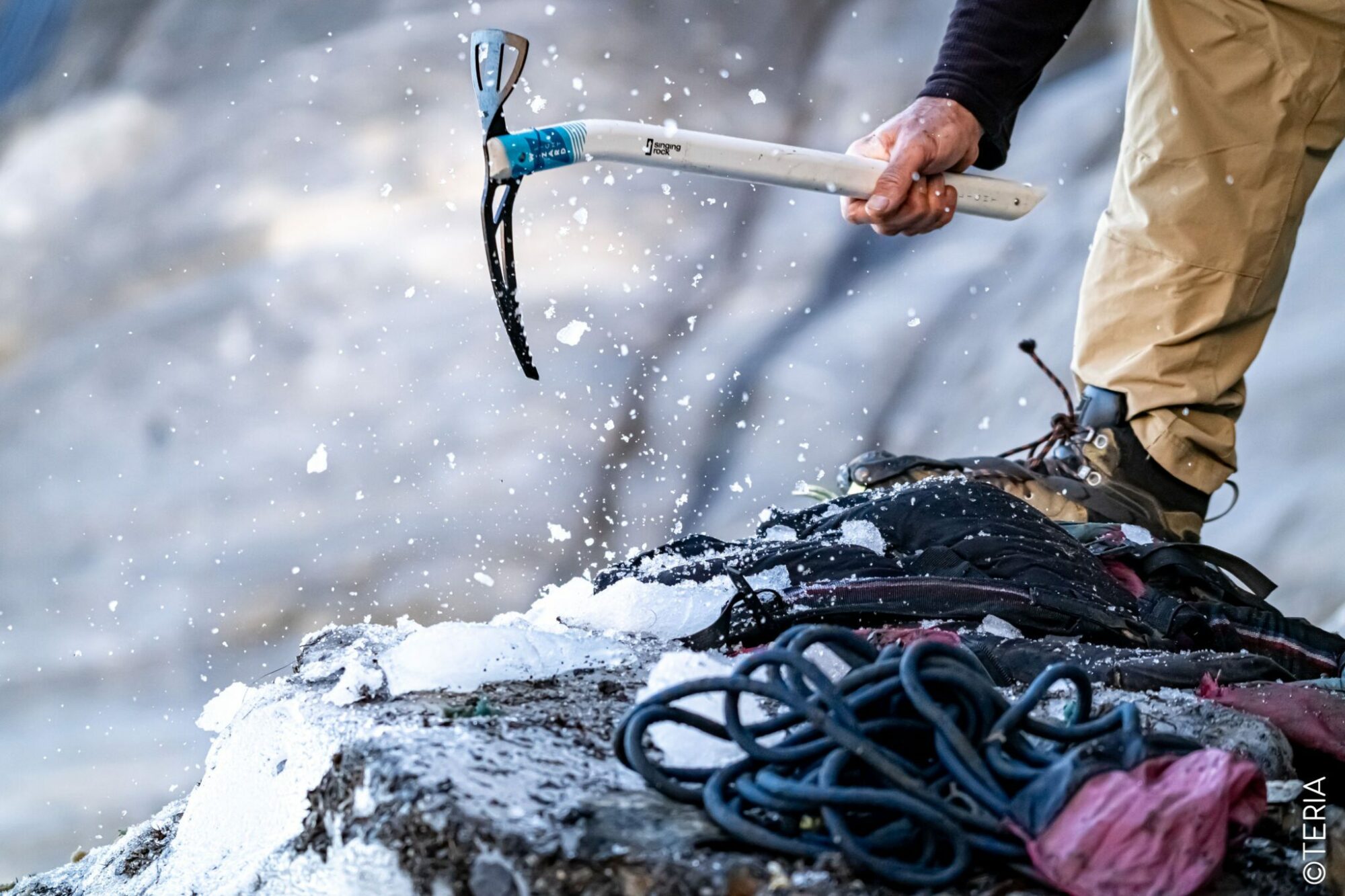
One of the most surprising discoveries of this expedition was the discovery of a rucksack trapped in the ice. After analysing the expiry dates of the items found inside the bag, it was determined that it had been buried in the ice since 1986. It is plausible that the French-branded bag slipped into a crevasse or fell from the summit of Mont Vallier. It is a poignant illustration of the vertiginous upheavals that have affected the glacier over the decades.
This unusual discovery is causing concern because it highlights the considerable melting of the glacier. According to the expedition’s regulars, the glacier has never been so threatened since the first measurements were taken. Although similar periods of drought have been recorded around the world in the past, it is undeniable that current global warming is a contributing factor.
TERIA is a player and partner in several expeditions
TERIA is involved in a number of topographical and scientific expeditions.
As a partner in expeditions such as the measurement of Mont Blanc, which has been falling for 2 measurements (4805.59 m), and Manaslu (8164 m), and the monitoring of endangered species, particularly in Antarctica, TERIA joins the scientific community in raising public awareness of the importance of taking action to combat global warming. The results of this expedition confirm the need for collective action on a global scale to preserve our planet’s glaciers and fragile ecosystems.
Discover our other missions.