- TERIA : GALILEO’s Expert
- TERIA : GALILEO’s Expert
- TERIA : GALILEO’s Expert
- TERIA : GALILEO’s Expert
- TERIA : GALILEO’s Expert
- TERIA : GALILEO’s Expert
- TERIA : GALILEO’s Expert
- TERIA : GALILEO’s Expert
- TERIA : GALILEO’s Expert
- TERIA : GALILEO’s Expert
TERIA : GALILEO’s Expert
TERIA, Expert Partner in the GALILEO Programme
On 28 and 29 November 2018, Madrid hosted the first GALILEO Users’ Assembly, marking a key milestone in the evolution of Europe’s satellite navigation programme.
This strategically important event comes shortly after the launch of the first GALILEO services and lays the foundations for 2020, when the system will become fully operational. This phase will pave the way for innovative new applications in a wide range of sectors, including maritime, air and land transport, precision agriculture, public works and rescue and relief operations.
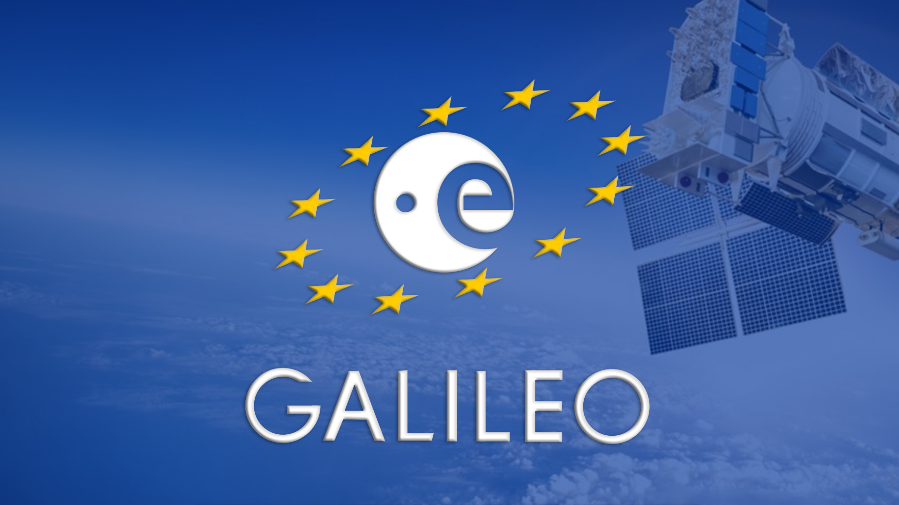
… More than 250 participants came together for this event, united by the objective of conveying to the European GNSS Agency (GSA) the needs and expectations of GALILEO users, while sharing initial feedback.
TERIA played a central role as an expert and co-editor of the minutes of the session dedicated to the application of GALILEO in the field of topography. Alongside TRIMBLE and SEPTENTRIO, TERIA presented the progress of work on the transmission of corrected data via TERIAsat.
All the major manufacturers were present, with the notable exception of LEICA, whose absence was particularly noticeable.
The benefits for GALILEO
The three satellite constellations – GALILEO, GPS and GLONASS – offer users simultaneous access to a network of more than 21 satellites on average. This increased density of satellites in space considerably reduces masking zones, i.e. areas where reception of satellite signals is usually blocked or disrupted by obstacles such as buildings, mountains or dense vegetation. Thanks to this extensive and reliable coverage, positioning accuracy is significantly improved, especially in dense urban environments or areas with complex terrain.
The positioning service offered by the GALILEO satellites marks a major innovation in the field of geolocation. For the first time, users are benefiting from an entirely European satellite navigation infrastructure, offering signals dedicated to both professional applications and the general public. These signals, designed to meet the highest standards of accuracy and reliability, open the way to a host of new applications, from advanced navigation for autonomous vehicles to agricultural resource management and critical infrastructure security.

In addition, GALILEO signals are robust against interference caused by the multipath phenomenon, where signals bounce off surfaces before reaching the receiver, which can cause positioning errors. Thanks to this resilience, users can now benefit from tri-frequency positioning. This innovative technology, unique to GALILEO, makes it possible to combine three separate signals emitted by the same satellite, further improving the accuracy and reliability of positioning. This breakthrough is particularly advantageous for applications requiring millimetre-level accuracy, such as topography, precision agriculture and guidance of construction machinery.
In short, GALILEO offers significant advantages thanks to its dense constellation, dedicated signals and ability to provide three-frequency positioning. These features enhance the accuracy, reliability and availability of navigation services, while opening up new possibilities in a variety of sectors.
GALILEO: The Constellation Approaches Full Capacity
On 12 December 2017, theEuropean Space Agency (ESA) reached a crucial milestone in the deployment of the GALILEO satellite navigation system with another successful launch. Four additional satellites have been placed in orbit, bringing the total number of operational satellites to 22. This launch is part of a series of carefully orchestrated operations aimed at completing the full GALILEO constellation.
The GALILEO programme, the cornerstone of Europe’s independence in satellite navigation, is nearing completion. The constellation is designed to offer global coverage and unrivalled accuracy, with a total of 24 active satellites in orbit and 2 back-up units ready to intervene in the event of failure.
The final launch, scheduled for mid-May 2018, will mark the completion of this constellation. Once the last satellites are in place, GALILEO will be able to offer positioning, navigation and timing services of exceptional reliability and accuracy. This full deployment will open up new opportunities in a wide range of fields, from air traffic management and maritime navigation to precision farming and rescue operations.
With the imminent completion of this constellation, Europe will have a fully independent satellite navigation system, strengthening its position on the world stage and paving the way for far-reaching technological innovations. GALILEO, already used by millions of users around the world, is set to become a strategic asset for a multitude of civil and commercial applications.




Did you enjoy this article?
Feel free to share it.